


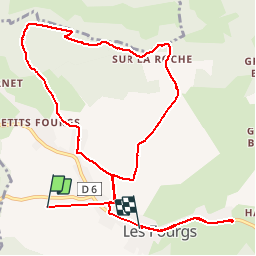

8,3 km | 10,6 km-effort


Utilisateur


Application GPS de randonnée GRATUITE
 SityTrail
IGN / Instituts géographiques
SityTrail World
Le monde est à vous
Randonnée Marche de 12,2 km à découvrir à Bourgogne-Franche-Comté, Doubs, Les Fourgs. Cette randonnée est proposée par cyrghe.
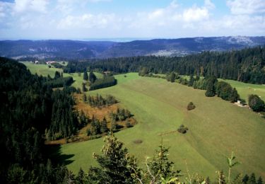
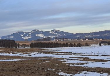
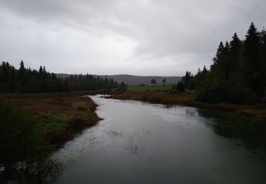
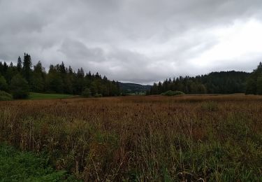
Belle petite balade, très sympathique, très facile, alternance de clairières, sous-bois et paysages du haut-Doubs. Très beau point de vue depuis le Belvédère avec table d’orientation.
Marche

Marche
Ski de fond
A pied

Ski de fond
Marche
Marche
Marche
Marche